

/ Parcelas disponibles
Catálogo de terrenos documentados con precisión
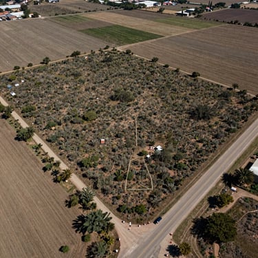
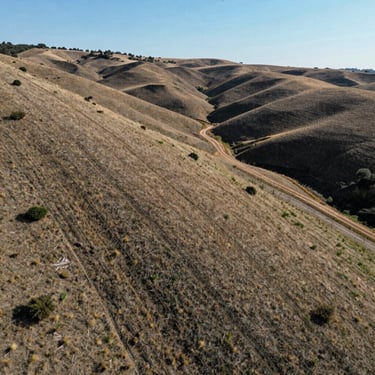
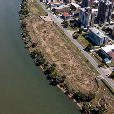
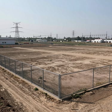
Cada ficha incluye fotografía aérea y de terreno, superficie exacta, estatus de título verificado y datos de acceso. Sin ambigüedad.


— Clasificación por región
Busca por zona geográfica
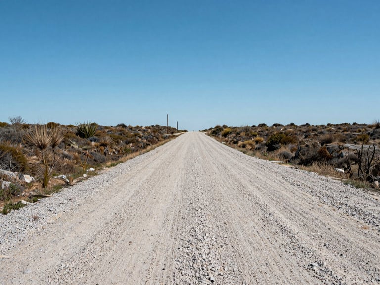
Región Norte
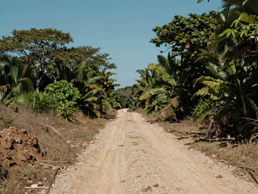
Región Sur
Parcelas con acceso carretero documentado, uso de suelo mixto y proximidad a corredores industriales. Título verificado en cada ficha.
Terrenos con condiciones de suelo y vegetación características del sur. Datos hídricos y de acceso incluidos en cada expediente.
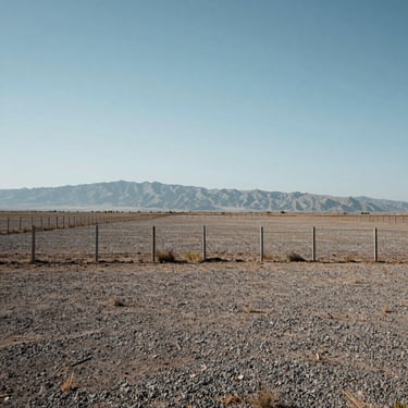

Expedientes activos
Fotografía aérea y de terreno, superficie exacta, uso de suelo y estatus de título en cada ficha. Transparencia de grado inversor.
Terrenos en catálogo
▸ Acceso directo al asesor
¿Necesita información técnica de alguna ficha?
Indique el terreno de interés y el tipo de dato que requiere. Respondemos con el expediente completo, sin intermediarios.